
Elbit’s PLUTO Set to Shine at IAC 2024
With a focus on mission excellence and applicative versatility, Elbit Systems-ISTAR &EW-ELOP's new payload aims to offer high quality performance Remote Sensing for microsatellites, with the goal of enabling diverse applications for defense, commercial, and scientific customers.
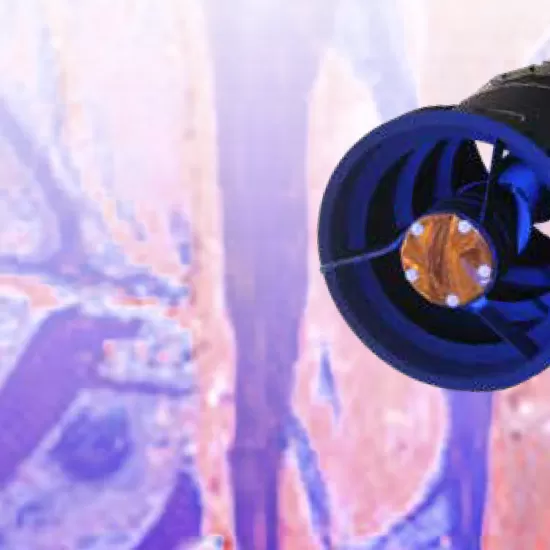
This year at the International Aerospace Conference (IAC) in Milan, Elbit Systems' ISTAR & EW - Elop will present its newest development for the space industry: PLUTO, a new payload designed specifically for high performance very high-resolution (VHR) microsatellites.
Elbit Systems' ELOP has been one of the global leaders and amongst Israel's national knowledge centers for the development and manufacture of high-end space remote sensing systems for over three decades. Elbit's space payloads stand out thanks to their combination of image quality and spectral diversity, enabling the collection of important information that can assist in paving the way for innovative solutions, applications, and services across various domains.
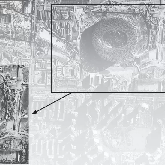
A key characteristic of PLUTO™ is its innovative broadband unified aperture design that supports multi-purpose configurations tailored to customer needs, providing valuable data to various applications such as disaster management, agriculture, environmental monitoring, and urban planning. Additionally, it offers multiple imaging modes that support advanced analytics and AI-driven target investigation, designed to support multi-domain and GEOINT intelligence platforms.
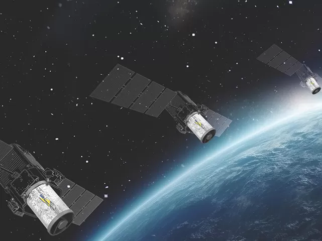
By combining advanced sensing technology with a lowered size, weight, and power (SWaP), PLUTO is aiming to become a key player in the rapidly evolving microsatellites constellation market.
Leading the Charge in Space Technology
Leveraging three decades of space heritage, high success rates, and advanced remote sensing and manufacturing technologies, PLUTO is ELOP's most advanced high-end space payload for microsatellites.
B, a senior official in the division, highlights the agility of PLUTO’s design. "The payload is modular and scalable, allowing it to adapt to various satellite platforms. Its real power lies in its ability to offer strong performance while keeping SWaP constraints relatively low, making it a good fit for today's rapidly evolving microsatellites space industry. This versatility is particularly important for satellite constellations, where multiple satellites are used to provide higher revisit time for the areas of interest, enabling time-related change detection insights.
Designed for Multiple Missions
PLUTO™ is not just focused on collecting data; it is designed with the intention that the information is used efficiently, by supporting a wide range of on-board analytics, allowing real-time data processing directly on the satellite.
According to B, this feature could be a potential game-changer for intelligence operations: "This payload doesn't just capture high-quality imagery; it also provides real-time analysis. By reducing the need for ground-based processing, it delivers actionable intelligence faster."
The Road Ahead
At IAC 2024, Elbit’s PLUTO will make its global debut at the Israeli Space Agency’s national booth.
Elbit Systems is sending a delegation, including B, to engage with global leaders in the space industry, exploring partnerships and opportunities to expand the reach of PLUTO.
"We’re excited to meet with colleagues and partners, learn about their needs, and explore opportunities for collaboration," B concludes.
FAQ
What is a remote sensing payload?
A remote sensing payload is a satellite-based sensor that collects imagery and other data from Earth to support applications such as mapping, environmental monitoring, intelligence, and disaster response.
What are microsatellites used for?
Microsatellites are used for Earth observation, communications, scientific research, environmental monitoring, and geospatial intelligence missions.
What is GEOINT and how is it used?
Geospatial Intelligence (GEOINT) combines imagery and geospatial data to support decision-making in defense, government, environmental, and commercial applications.
Why are satellite constellations becoming more important?
Satellite constellations improve revisit rates, provide more frequent coverage of areas of interest, and enable better monitoring of changes over time.
Important Notice: Certain blog articles may contain forward-looking statements and are not intended to provide business, financial, or investment information. Please review our full disclaimer here.