In today’s world, governments, military organizations, communities and law enforcement authorities face complicated and unexpected threat and challenges scenarios from a variety of sources.
These unforeseen situations require a unique cutting-edge solution that can present a comprehensive situational awareness picture to the decision makers, while managing and efficiently controlling threats in real-time. All this to support the immediate needs of:
- Military Operations
- Border & Coastal Protection
- High Volume Major Events
- Safe City enforcement
- Wide Scale Natural Disasters
- Firefighting
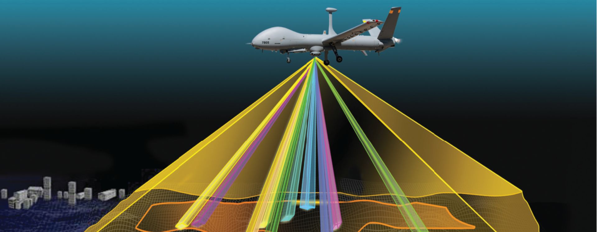
SkEye – an innovative and advanced solution developed by Elbit Systems – is a high-resolution, Wide Area Airborne Persistent Video Surveillance system that provides real-time ubiquitous situational awareness for multiple users. The system has the capability to continuously monitor vast areas, intercept events and maintain multiple regions of interest (ROI) under constant surveillance with high spatial resolution. The modular SkEye system provides execution and management of several missions simultaneously.

Main Capabilities
- Ongoing high-resolution video capture of large area footprints
- High-resolution video imaging of a selected geographic area displayed in real-time to multiple clients on the ground
- Multiple, simultaneous user access to both real-time or stored video events
- Video processing capabilities such as video motion detection (VMD)
- Video archive of ongoing and past aerial missions, allowing video queries by time, location and event

High Level Architecture
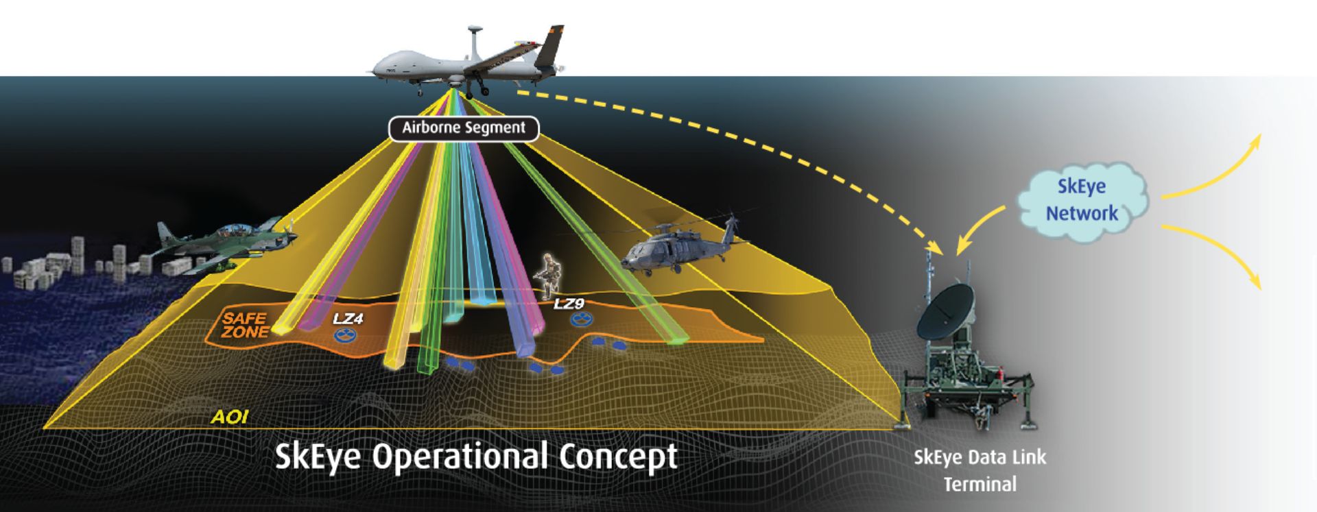
The ground segment consists of the SkEye Control and Management Center (SCMC) and a data link connection to the airborne segment.
- Computational support to the aerial unit
Retrieval services for ROI video streaming from archive storage and from the aerial unit to the ground unit - Video processing services such as VMD, safe zones, multiple trackers and more
- Supports mission execution and analysis results
Mission debriefing - High-resolution video acquisition of a large geographic area
- Storage of the entire video acquired during the mission
- Capture and streaming of multiple ROI videos to the ground segment
- Anchoring of video imagery to geographical coordinates
- Real-time video processing capabilities such as VMD, safe zones, multiple trackers and more


